The Beginner’s Guide to Geospatial Asset Management
The biggest problem that we’re facing is that nobody knows where all the stuff is. Our current operator has been here for 40 years, and he knows every single meter and dog in the town, but his son is trying to train to take over for him and he can’t figure out where anything is! The kid can’t memorize it fast enough and the dad can’t transport his knowledge into the kid’s head.
The excerpt above is from a conversation that took place between the mayor of a small, rural community, and me during a recent site visit. He went on to talk about the difficulties of retaining employees and training new ones in a town that is already low on eligible workers. This conversation highlights a common problem that many utilities face, which is an older generation of workers who have remained at their jobs for decades and a younger generation who favors transience and pursuing other opportunities. With expansive technology is there a way for small rural communities to solve this issue?
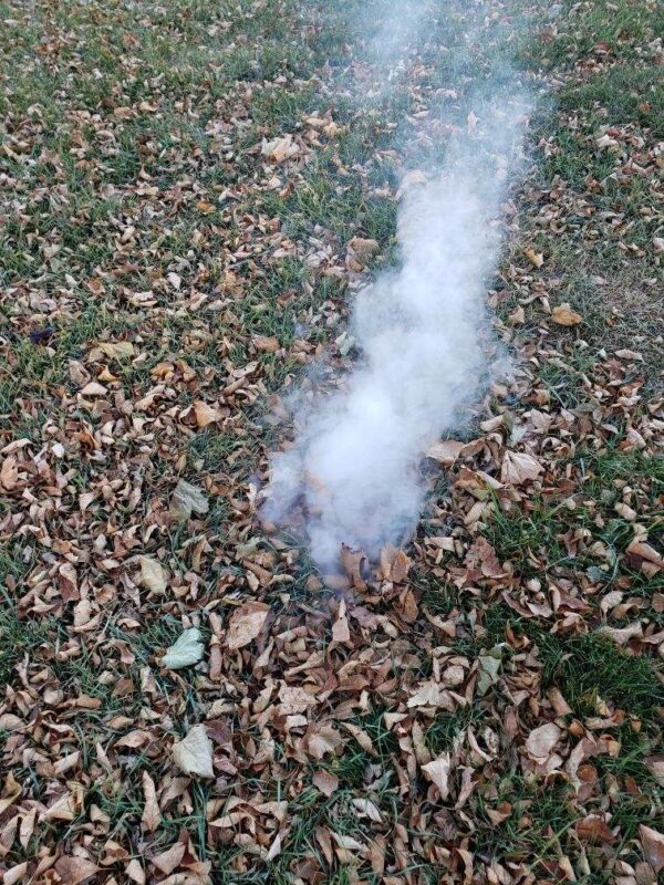
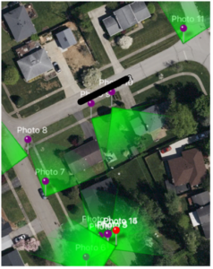
As water and wastewater utilities move toward using technology for digital forms of asset management, it is essential that activities such as smoke testing are recorded electronically for future use. Collecting data on smoke testing and other maintenance and inspection activities can help operators pinpoint common locations that experience leaks or defects. The data can also be used to highlight locations which need repairs and help track repair progress. Without technology, this data would be lost with the experience of the worker who completed it. An inexpensive ($0.99) tool that utility systems can use to begin collecting this data is Solocator. This app can be used as a first step toward a geographic information system (GIS)-based wastewater inventory. It is simply a camera that stamps each of the pictures with GPS coordinates, project names, watermarks, time, date, and other optional information such as bearing and altitude. These photos can then be exported in multiple different formats for sharing or archiving. The geographical data can also be exported to a .CSV format for easy incorporation into your GIS software, such as ArcGIS, later.
Some illustrative steps for using Solocator are included below:
- Download the Solocator app.
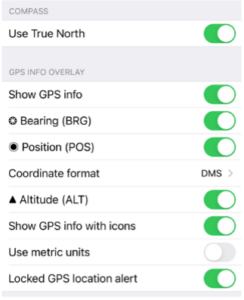
- Adjust the settings to include the desired data.
- Add watermarks, descriptions, and/or Project names.
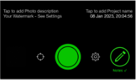
- Take photos of the smoke test.
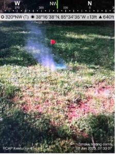
- Export your photos to begin a database of locations needing repair..CSV output:

Map output:
Asset Management is an essential part of a water system’s continued growth and is continuously changing as time passes Solocator is one of many affordable tools available to help communities start tracking asset management. Incorporating a sustainable data retrieval plan will help systems accommodate future employees and gain a more expansive understanding of their utilities.
This Drop of Knowledge (DOK) was funded through our EPA NPA 2 22 – 24 grant.
